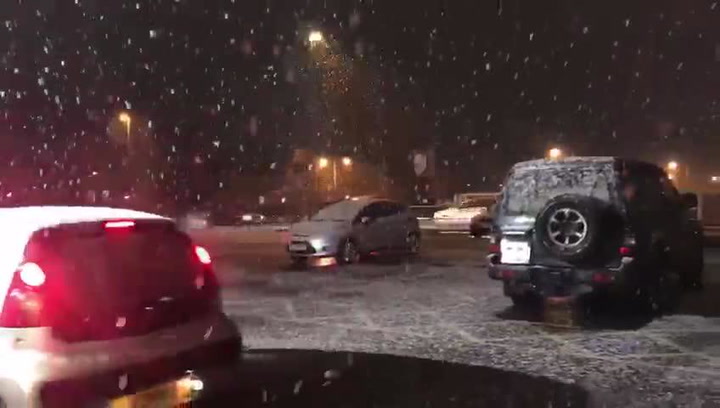
Just hours after Britain saw one of its coldest nights of the year, residents in Burton, Uttoxeter and South Derbyshire are being warned to brace themselves for more snow or sleet as temperatures continue to plummet.
Forecasters are predicting heavy rain and strong winds in the region this morning, with a chance of falling sleet or snow in some areas. This will make way for some sunny spells and the odd shower later this afternoon.
Temperatures are expected to reach highs of 7C but will fall to 0C tonight.
It seems that we have got off lightly as heavy snow and strong winds of up to 70mph are causing disruption elsewhere across the country.
The mercury plummeted to -12.3C at Loch Glascarnoch in the Scottish Highlands overnight.
Most parts of the UK dipped below freezing, leaving widespread ice as commuters headed out this morning.
Forecasters have warned of disruption to travel and potential power outages as the day progresses and a band of "severe" weather moves in from the east.
A yellow warning for snow has been issued for southern and eastern Scotland, northern England and the Midlands until 3pm.
The heaviest snowfall of 5cm-to-10cm is expected in parts of northern England and up to 15cm on higher ground.
Met Office forecaster Charles Powell said there could be some "pretty nasty travel conditions".
He said: "It is a band of severe weather. Weather warnings are in force. There is going to be disruption in some shape or form."